Trusted by 50,000+ Professionals
GeoSnap GPS Map Camera — Location & Time Stamp Photos
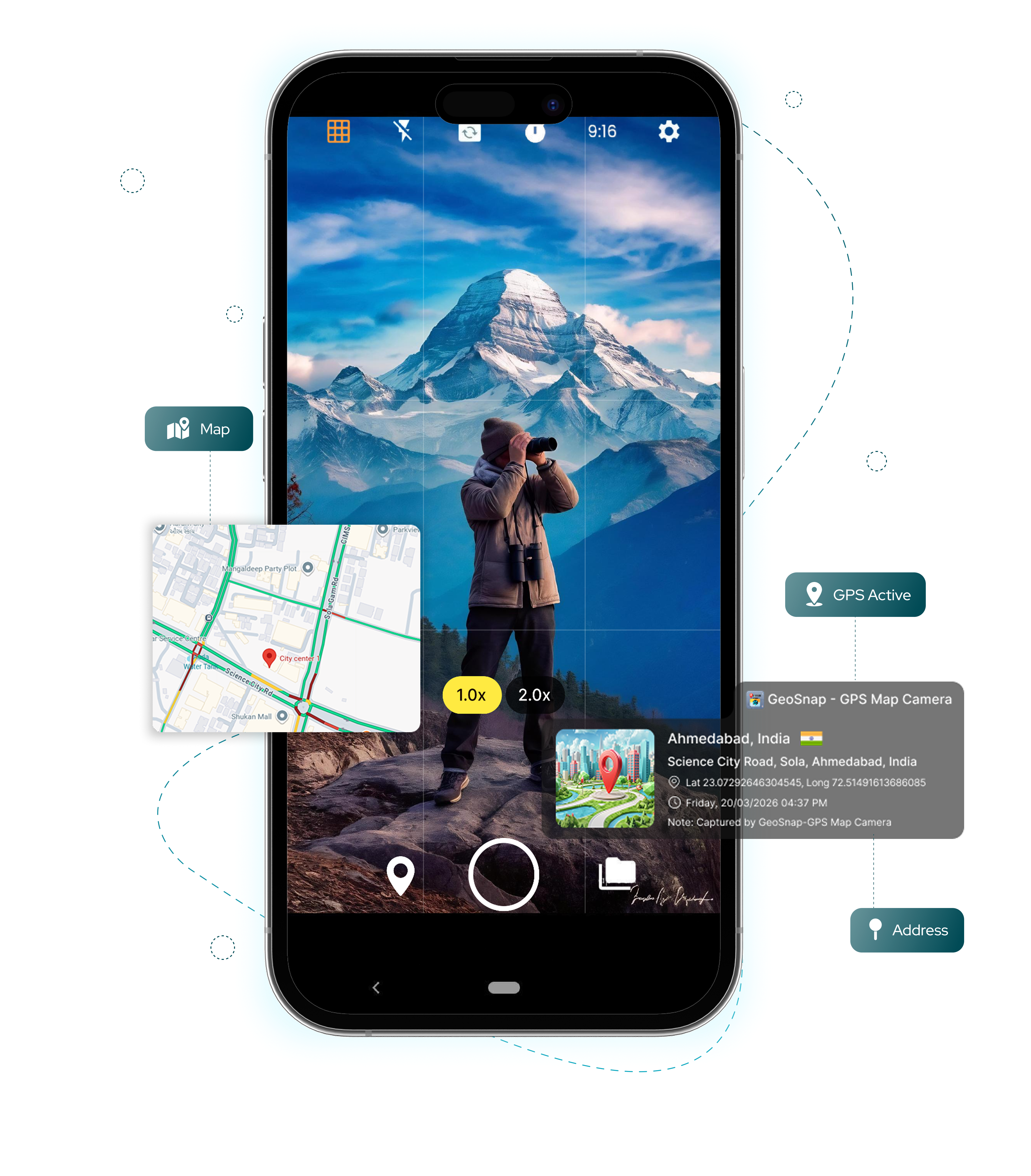
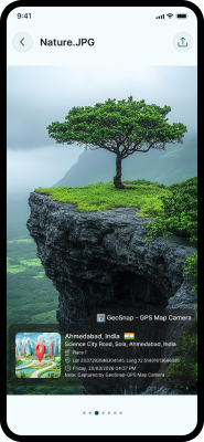
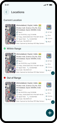
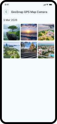
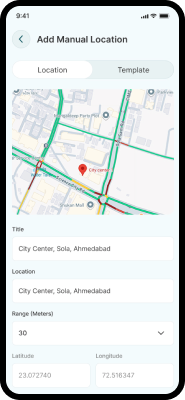
Auto-stamp photos & videos with GPS location, date, time, maps, logo, and more using the GeoSnap GPS Photo Stamping App for accurate field documentation.

50K+
Active Users
4.8★
App Rating
5M+
Photos Tagged