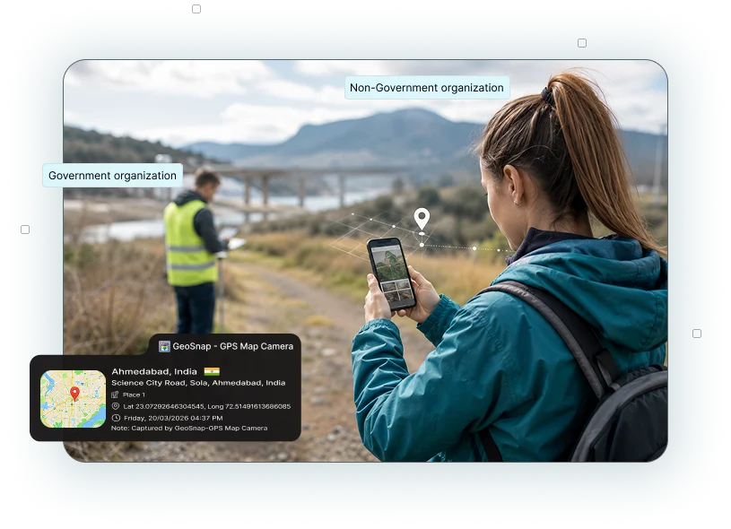
Whether you're conducting household surveys, infrastructure inspections, social welfare programs, or environmental assessments, GeoSnap helps you capture photos with GPS location, date, time, address, latitude, longitude, and map stamps for reliable field documentation.
Field surveys require trustworthy documentation. Whether you're conducting household surveys, infrastructure assessments, health campaigns, agricultural inspections, or beneficiary verification, GeoSnap ensures every photo contains location and time proof.
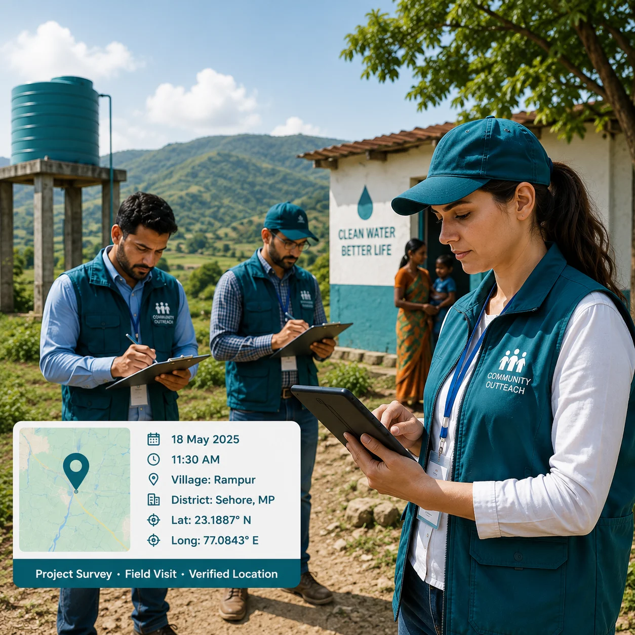
Automatically add live GPS coordinates, complete address, and map location to every survey photo. Verify every field visit with accurate location details.
Record the exact date and time of every survey automatically, ensuring reliable documentation for project monitoring and donor reporting.
Capture accurate GPS coordinates for every survey location, making field verification and data validation simple and reliable.
Display the exact survey location directly on each photo, providing visual proof of where the survey was conducted.
Include project names, village names, survey IDs, beneficiary details, or field observations with every photo.
Choose from multiple professional stamp layouts that match your NGO's documentation and reporting standards.
Continue documenting field activities even without an internet connection, making it ideal for remote and rural survey locations.
Capture clear, high-resolution images suitable for beneficiary verification, project reports, donor submissions, and compliance audits.
Capture geo-tagged images during beneficiary verification programs.
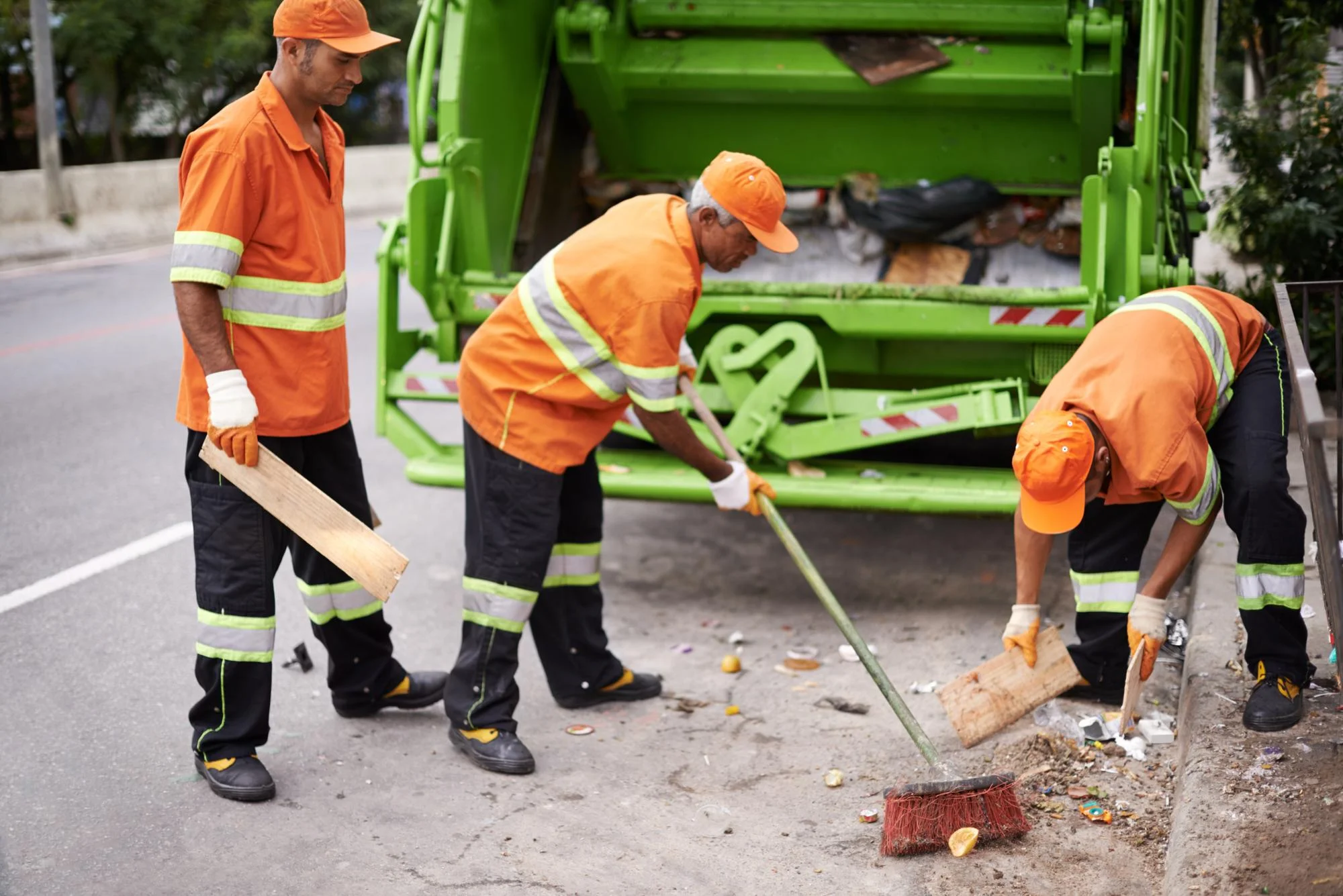
Document roads, schools, water facilities, and village infrastructure.
Record field visits with accurate location proof.
Monitor crops, irrigation projects, and farmland conditions.
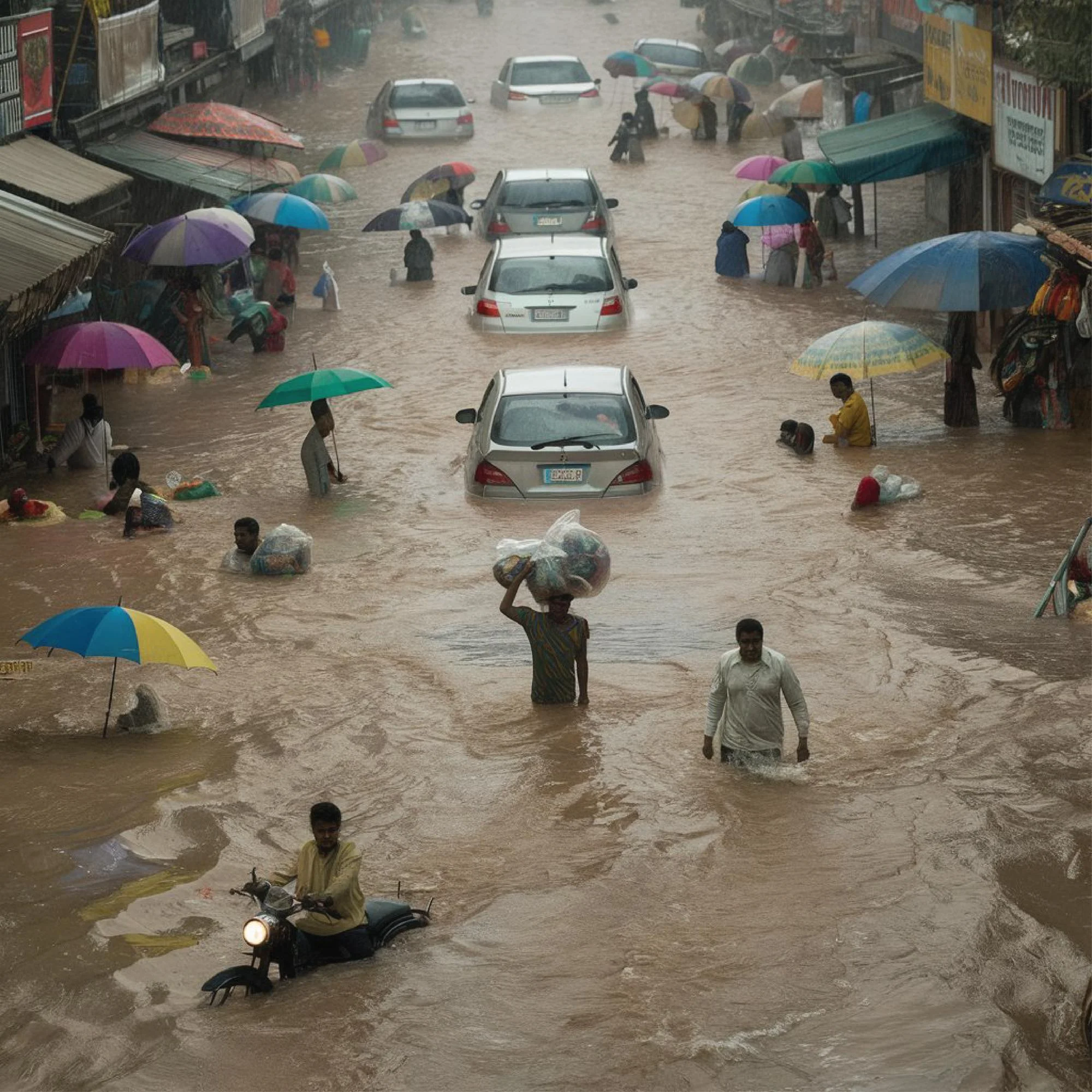
Document affected areas with GPS and timestamp evidence.
Capture field observations for conservation and research projects.
Maintain location-based records for every household visit.
Capture geo-tagged photos of schools, classrooms, and educational field activities.
Whether you're conducting government inspections, beneficiary verification, infrastructure monitoring, environmental assessments, or NGO field projects, GeoSnap helps you capture every survey with trusted GPS-enabled photo evidence.
Start documenting smarter with GeoSnap and make every field visit verifiable, organized, and report-ready.
GeoSnap automatically adds GPS location, date, time, address, and map details to every survey photo. This helps NGO teams spend less time on manual documentation while creating trusted records for project monitoring, donor reporting, and beneficiary verification.
"GeoSnap has transformed how we document site inspections. Our clients and government reviewers now accept our photo evidence without question — the tamper-proof stamps give everyone confidence."
"As a real estate broker, I share property photos with clients abroad. GeoSnap stamps give them the confidence to trust what they're seeing. My conversion rate improved significantly after using it."
"We use GeoSnap for our environmental field surveys across remote tribal zones. Offline GPS capture is a lifesaver. Reports are now automatically organized with location-stamped evidence. Outstanding tool."
"I'm a solo traveler and GeoSnap is my favorite app. Every photo gets tagged with the exact place — I no longer need to write notes about where I was. My travel blog is so much richer now!"