Trusted by 50,000+ Professionals

GeoSnap GPS Camera App for Environmental Teams

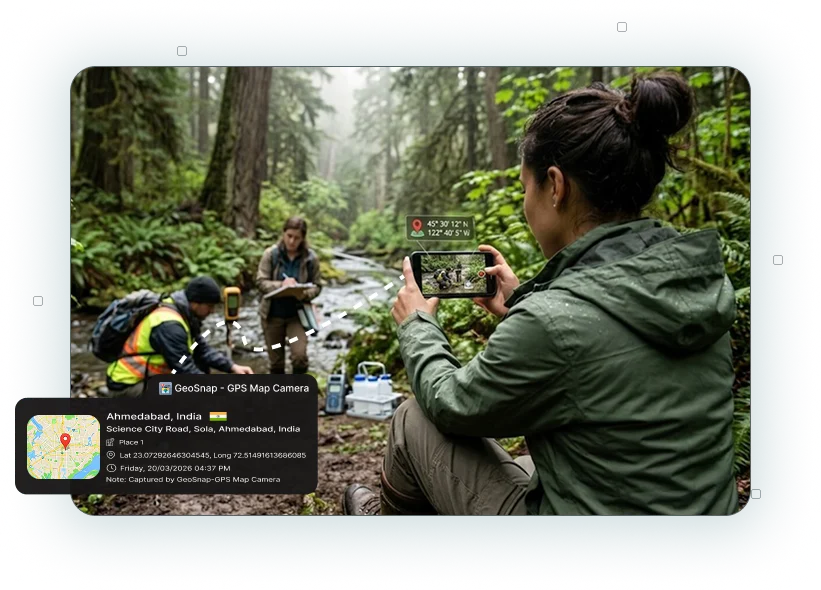
Environmental projects demand accurate records from the field. Whether you're inspecting forests, collecting water samples, monitoring wildlife, or documenting conservation work, GeoSnap app helps you capture every photo with verified location and time details. Built for professionals working outdoors, the app creates reliable records that support reporting, inspections, and environmental management.

GPS Map Camera

Why GeoSnap App for Environmental Staff?

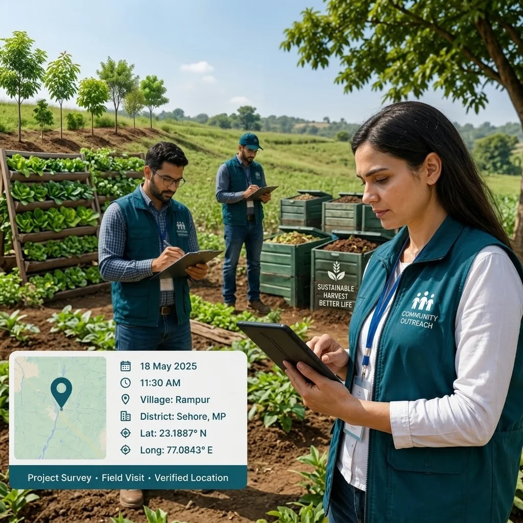
Field teams often work across forests, wetlands, rivers, protected areas, and remote project locations where accurate documentation is essential. GPS Camera App for Environmental Staff automatically stamps every image with GPS location, date, time, address, latitude, longitude, and map details, making field records more trustworthy and easier to verify.

Accurate GPS Location Tracking

Accurate GPS Location Tracking

Automatically stamp every environmental photo with GPS coordinates, address, latitude, longitude, and map details to verify every field visit.

Automatic Date and Time Recording

Automatic Date & Time Recording

Capture the exact date and time for every inspection, survey, and monitoring activity to maintain accurate environmental records.

Precise Latitude and Longitude Capture

Complete Field Documentation

Create organized photo records for inspections, conservation projects, research, and environmental assessments without manual data entry.

Offline Photo Capture

Offline Photo Capture

Continue documenting field activities in forests, wildlife reserves, remote villages, and protected areas even without an internet connection.

Custom Manufacturing Information

Custom Photo Stamps

Add project names, survey IDs, inspector details, weather conditions, notes, and other important information directly onto every photo.

Built-in Map Location Preview

Built-in Map View

Display the exact location on every image, making it easy to verify field observations, inspections, and monitoring activities.

Offline Manufacturing Documentation

High-Quality Photo Evidence

Capture clear, high-resolution images with accurate GPS and timestamp information for reporting, compliance, and environmental research.

High-Quality Manufacturing Documentation

Easy Reporting & Compliance

Generate reliable location-based photo records that simplify environmental reporting, audits, regulatory compliance, and project verification.

Common Use Cases for Environmental Teams

Environmental Site Inspections

Environmental Site Inspections

Capture location-based photos during inspections of forests, wetlands, rivers, industrial sites, and protected areas.

Wildlife Monitoring

Wildlife Monitoring

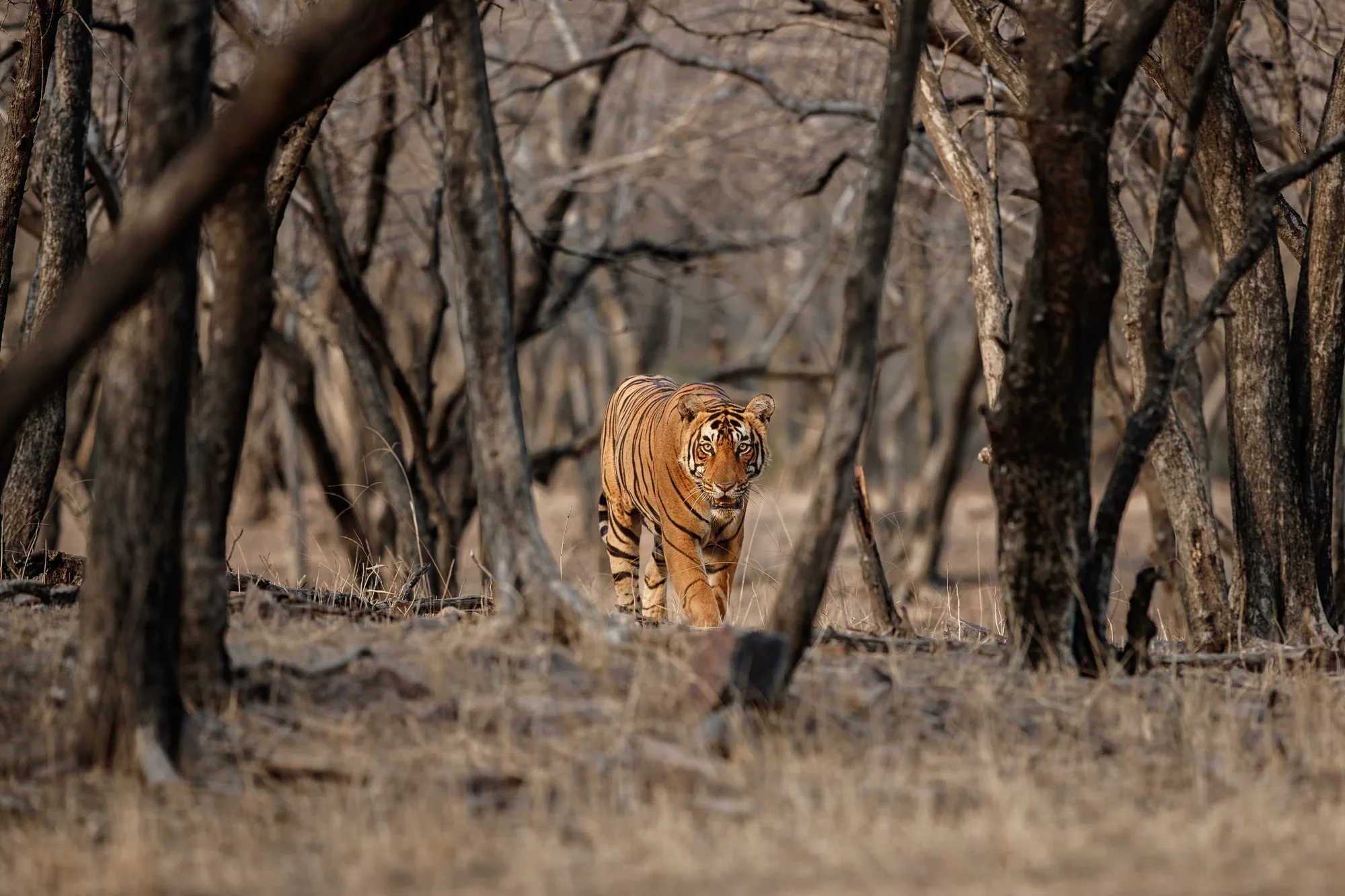
Document animal sightings, habitats, and biodiversity surveys with accurate GPS and timestamp records.

Forest Conservation Projects

Forest Conservation Projects

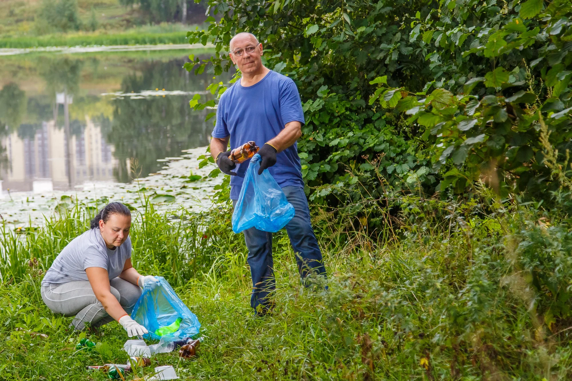
Maintain detailed photo records of plantation drives, forest restoration, and conservation activities.

Water Resource Monitoring

Water Resource Monitoring

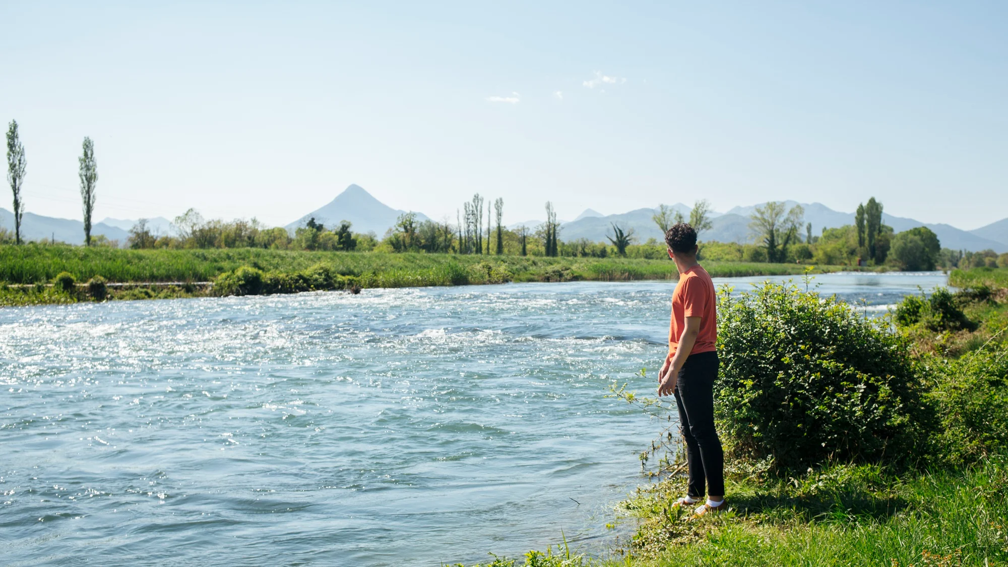
Record rivers, lakes, reservoirs, and water sampling locations for environmental assessments.

Pollution Control Surveys

Pollution Control Surveys

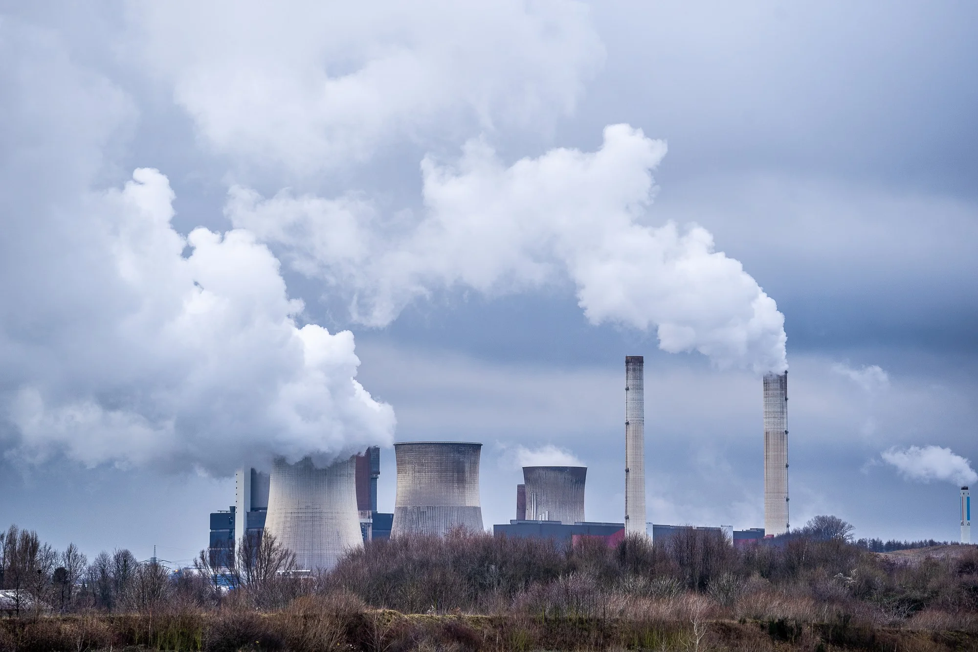
Document air, soil, and water pollution observations with verified field photographs.

Environmental Research

Environmental Research

Capture organized field records for scientific studies, ecological surveys, and long-term monitoring projects.

Climate & Sustainability Programs

Climate & Sustainability Programs

Track restoration initiatives, carbon projects, and sustainability programs with location-based photo documentation.

Ready to Improve Environmental Field Documentation with GeoSnap App

Whether you're monitoring natural resources, conducting environmental inspections, documenting conservation work, or collecting research data, GeoSnap app helps your team create reliable photo records with verified GPS and time information.

Start capturing accurate environmental documentation with confidence using GeoSnap Apps.

Why Environmental Teams Choose GeoSnap App

GeoSnap App makes field documentation simple by automatically adding GPS location, date, time, address, latitude, longitude, and map information to every image. Instead of managing photos manually, teams can focus on fieldwork while maintaining accurate records for reporting, inspections, compliance, and research.

  • Record accurate location-based field photos
  • Improve environmental reporting accuracy
  • Reduce manual documentation effort
  • Create reliable inspection records
  • Support compliance and audit requirements
  • Document conservation and restoration activities
  • Simplify research and survey documentation
  • Organize field evidence in one place
Teams Love GeoSnap

Frequently Asked Questions

GeoSnap is a GPS-enabled photo documentation app designed for environmental professionals. It automatically adds location, date, time, address, latitude, longitude, and map information to every photo captured in the field.
GeoSnap helps environmental teams document inspections, monitoring activities, research projects, conservation work, and field surveys with accurate, location-based photo records.
GPS-enabled photos provide reliable proof of where and when field activities were completed, improving reporting accuracy, project transparency, and compliance documentation.
GeoSnap is suitable for environmental consultants, forest departments, wildlife researchers, conservation organizations, NGOs, pollution control teams, water resource departments, ecological researchers, sustainability consultants, and field inspection teams.

What Our Users Say

"GeoSnap has transformed how we document site inspections. Our clients and government reviewers now accept our photo evidence without question — the tamper-proof stamps give everyone confidence."

Rajesh Kumar
Civil Engineer, Delhi PWD

"As a real estate broker, I share property photos with clients abroad. GeoSnap stamps give them the confidence to trust what they're seeing. My conversion rate improved significantly after using it."

Priya Mehta
Real Estate Broker, Mumbai

"We use GeoSnap for our environmental field surveys across remote tribal zones. Offline GPS capture is a lifesaver. Reports are now automatically organized with location-stamped evidence. Outstanding tool."

Anand Sharma
Field Officer, MoEFCC

"I'm a solo traveler and GeoSnap is my favorite app. Every photo gets tagged with the exact place — I no longer need to write notes about where I was. My travel blog is so much richer now!"

Sneha Nair
Travel Blogger, Kerala